Mapping the Olympic marathon by elevation, turns, water stations

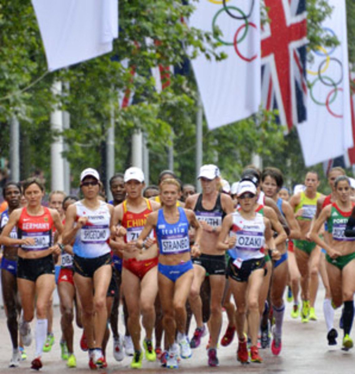
Many runners, especially marathoners, have OCD tendencies. Few, however, feel compelled to know the exact elevation of every hill or the precise angle of each turn on the course. For elite marathoners though, like the hundred or so men and women from nearly 70 countries who will line up to compete in this year's Olympic marathons, this minutiae and more -- street names, course high and low points, mileage between drink stations -- can be key to winning a gold medal.
So where do top runners get this kind of detailed data? There's no gadget yet, just a one-page document created by a soft-spoken University of Wisconsin-Eau Claire geography professor named Sean Hartnett. A former marathon runner who has coached Division III track, Hartnett was tabbed earlier this year to create one of his signature elevation profile maps for the Olympic marathon (the women's race was Sunday, the men will run this Sunday).
"My job is to help marathoners use the biggest muscle in their bodies, their brains, to win a race," Hartnett says.
The Olympic map, which Hartnett spent hours creating using both digital and paper sources is color-coded in the 2012 Olympic shades of yellow and purple. It includes turns and refreshment, sponge and misting station guides. It covers distance in both kilometers and miles and shows elevation variations in both meters and feet.
"When I make a map like this, I start by thinking backward, 'What information do the athletes want to take away from this graphic? What do they want to see?'" Hartnett says.
For the Olympic course, much of which runs through the narrow, winding roads of the old City of London, Hartnett decided it was crucial to give runners details on the turns, since some are as sharp as 90 degrees and others as soft as 30.
He also included every water station because the stations are not spaced apart the standard five kilometers as they are in most marathons. "For the drink stations at the Olympics, every country gets an eight-foot table for their athletes," he explains. "You need about 10 feet for each country which is problematic in the old city because it turns out most of the streets aren't very long."
It's this kind of detailed thinking that has earned Hartnett a reputation among the world's best runners and their coaches. When he goes to cover some of the world most famous marathons, many racers and their coaches approach him for advice on the course terrain, topography and his knowledge of how it's been won in the past. Many affectionately and reverentially call him the "professor of marathons."
"Sean has a unique skill set," says Jack Fleming of the Boston Athletic Association, which runs the Boston Marathon. "He has a mathematical or statistical mind combined with a deep knowledge of the marathon ... he understands how fine of a line exists between a regular performance and a world-class performance."
Mark Griffith, operations managers for the Olympic marathon who also is an official with the London Marathon, says he realized the depth of Hartnett's skills after asking the geographer to make a similar document for the London Marathon several years ago.
"I don't know who I would turn to except Sean," Griffith said. "He's the only man in the business who can do this kind of work and his maps are quite exceptional. They provide immense detail that can be a real advantage to the runners."
*****
Hartnett made one of his first maps six years ago after Boston Marathon officials, who knew him mainly as a freelance journalist from Track and Field, learned more about his day job.
"One day he began talking about what he did the other five days of the week as a geography professor in Wisconsin," Fleming says. "He showed us some maps he had made and said, 'If you guys allowed me an access point right ahead of the event as it's taking place, I could really get some great data marks and build something off that.'"
Boston officials found a seat for Hartnett in the lead or pace car during the 2006 marathon and he brought along a high-tech GPS device programmed to take elevation readings every five seconds. Later he turned those numbers into a document that illustrated the exact elevations of the famously hilly course.
Knowing a course's elevation changes -- especially for hillier races like Boston and New York -- can help elite runners decide when to plan their attack, Hartnett says. For instance, if they're strong hill runners like Robert Kipkoech Cheruiyot, a Kenyan who has won Boston four times, it makes sense to save themselves for the hilliest part of the course between miles 16 and 21 when other runners might be struggling. That's exactly what Cheruiyot did when he set a course record in 2006.
Hartnett made Cheruiyot a "race-summary" map after the event, something he likes to do for the winner whenever a course or world record is set. The summary map, which Cheruiyot later framed and hung in his living room, shows both the course elevation and Cheruiyot's minute-by-minute pace at times juxtaposed with Kenyan runner Benjamin Maiyo who led the race between miles 10 and 18 before Cheruiyot caught him on the hills.
Later when Ethiopian runner Haile Gebrselassie saw Cheruiyot's summary map, he told Hartnett that it would be great to see the pace changes the map depicted in "real time" so a runner could adjust accordingly. Most marathons give runners only the mile and kilometer markers along with some giant clocks around the course to show how much time in the race has elapsed.
At the 2007 Berlin Marathon, Hartnett fulfilled Gebrselassie's request. He convinced Berlin officials to let him sit in the lead car with a stopwatch, laptop and a 40-by-6-inch digitized display screen. Hartnett timed the pace for every kilometer, then typed that information into a spreadsheet on his computer, along with the elapsed time, total number of kilometers or miles run so far and the projected winning time based on the current pace. That information then flashed on the screen for the frontrunners to see. "It's very simple information," says Jos Hermans, Gebrselassie's manager, "But it's very important to the athletes."
Gebrselassie used the data to set two world records in 2007 and 2008. During the latter race, Gebrselassie had set a goal to not just top his record but to also be the first to run a marathon under 2 hours, 4 minutes. To reach it, Gebrselassie knew every second would count. Throughout the race, he kept a watchful eye on Hartnett's numbers, knowing that for each kilometer above world-record pace, he would have to run one below world-record pace.
By the 37th kilometer, with just 5.2 left to go, Hartnett's data showed the Ethiopian was on target to reach his goal. Excited, Gebrselassie sped up, running some of the fastest kilometers of the marathon until the final one, when he appeared to run out of gas, slowing down. Then in the last 650 feet with just 30 seconds left to reach his goal, Gebrselassie sprinted, getting across the finish line with a time of 2:03.59.
"There's no question that the professor helped me set the world record," Gebrselassie says. "The technology he came up with was amazing and I told him, 'If you give this information to someone else, my record will not stand long.'"
*****
Getting the data to make the map for this year's Olympic course wasn't easy. Unlike with his other marathon profiles, Hartnett did not have time to fly to London and ride the course with his GPS. Instead, Olympic marathon officials sent him a spreadsheet of elevation and distance data. But Hartnett soon realized there weren't enough numbers to show the kind of detailed elevation that he likes to put in his maps.
He turned to Google Earth, but then discovered another problem. The London data was based on high tide as the lowest elevation point whereas Google Earth uses sea level. "The readings were pretty similar, but I still felt it was a little shaky," he says.
Finally Olympic officials contacted the City of London Transportation Division and they emailed Hartnett about 50 elevation survey maps. The next weekend, while a friend was driving him to an NCAA track meet in Iowa, Hartnett spread out the maps on the back seat of the car and spent five hours creating a graph of the elevation points.
With the hard part over, Hartnett then went to work turning the numbers into an interesting graphic and adding in all the little extras for what is arguably the world's most important marathon. "I like to make maps that draw people in so they can really study them," he says.
No doubt, the Olympic runners will.